
Wednesday 2nd.
We were on our away Wednesday morning 10am after dropping the kids to school. It was 500 odd km’s to Mt Kaputar, so we headed the most direct route along the bitumen. It was slated to hit 46 degrees at Narrabri so we thought it good that we would be in the truck through most of the heat of the day and hopefully setting up camp in the cool as we would be at altitude for our first night. We made good time up through the upper Hunter and stopped just before Nowlands Gap at Burning Mountain to have our premade wraps. It was great to see the Upper Hunter ‘green’ as the last time we through it was in drought. It was also fascinating to see how many coal trains travel the line that the road shadows, they are huge and constant, you forget that there are mines all the way up to Narrabri, you tend to only think of the ones starting around Singleton and up to Muswellbrook.
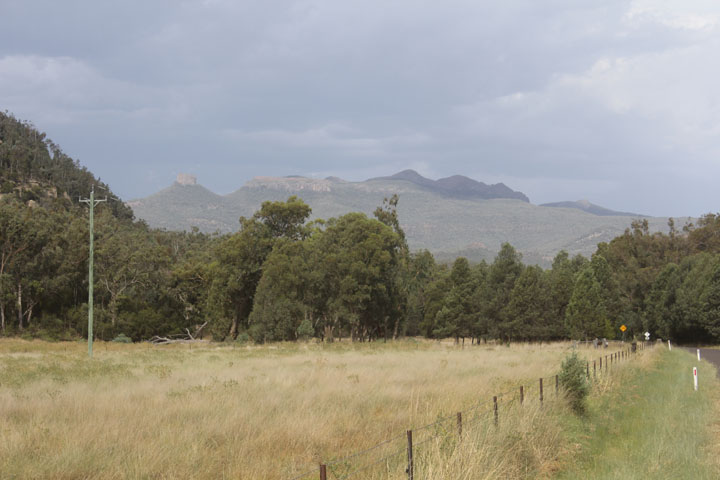
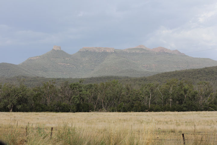
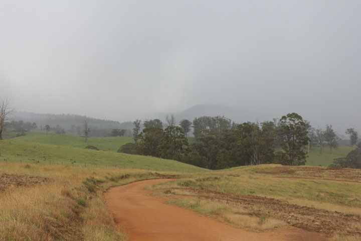
We turned at Willow Tree on to the Kamilaroi and the temperature went over 40 degrees. We stopped at Boggabri for the toilet and it was really hot, it hit 46 degrees, so back in the truck and we turned off before Narrabri and onto Kaputar Road. It was still some 40km’s to the campsite and the mountain looked pretty spectacular rising out of the plain with lots of jagged spires prominent. This was the road we wished to travel along in the other direction coming off the mountain on our motorbike a few year ago, but we could not get up the Barraba track due to wet weather.

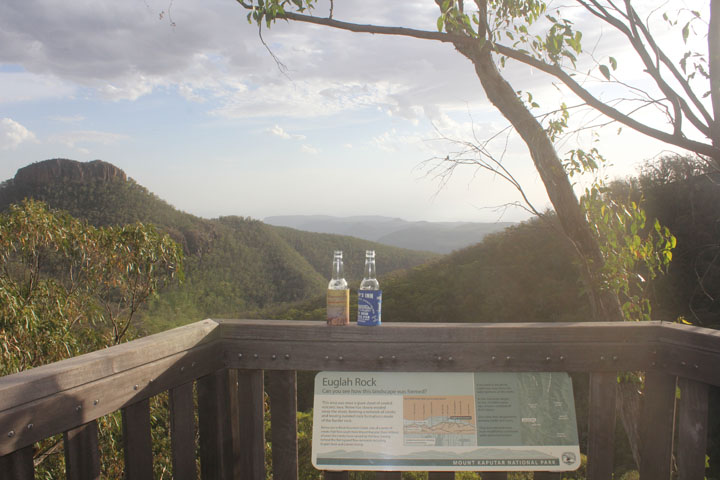
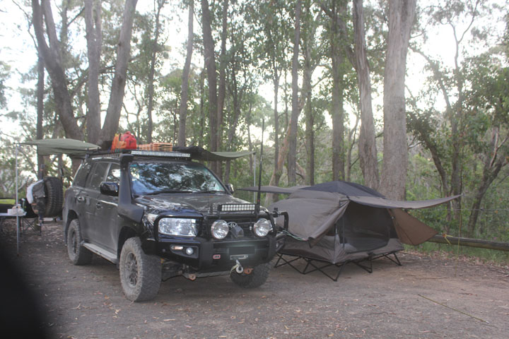
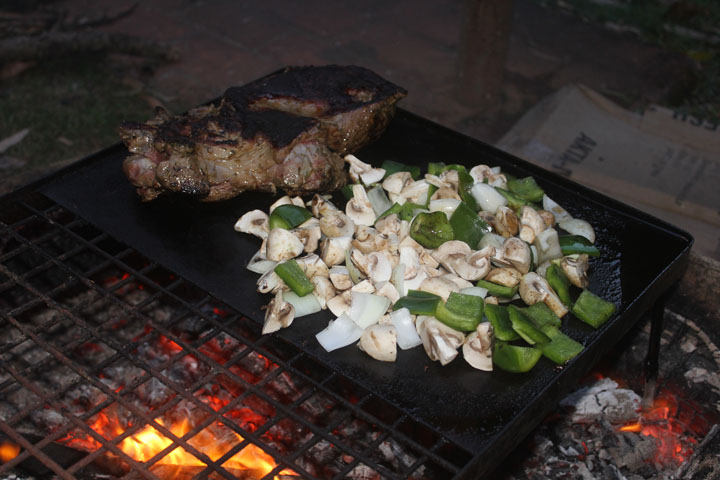
Bark Hut campground was our destination and it was pretty schmick, we arrived at 6pm after 571km. Being midweek we were the only ones here, it was set up for 2wd’s and tents, each site had bollards up, but we had ample space to set our awning and swag tent up where we parked the truck. We had some fire wood so got a fire under way and started our snags and roast veggies on the hotplate provided. A well-deserved beer or two washed down a delicious meal. We took an after dinner walk down to the lookout for a great view over the plains and surrounding peaks just as the sun went down. We didn’t feel the heat so the altitude did its trick. Unfortunately it blew throughout the night and I felt like I didn’t sleep at all, Nyree slept a bit better, but the next day she woke up with a headache which turned into a migraine and made her spew.
Thursday 3rd.
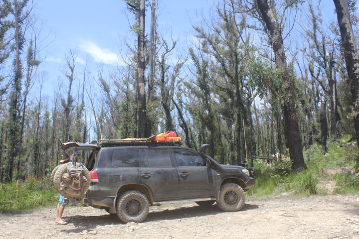
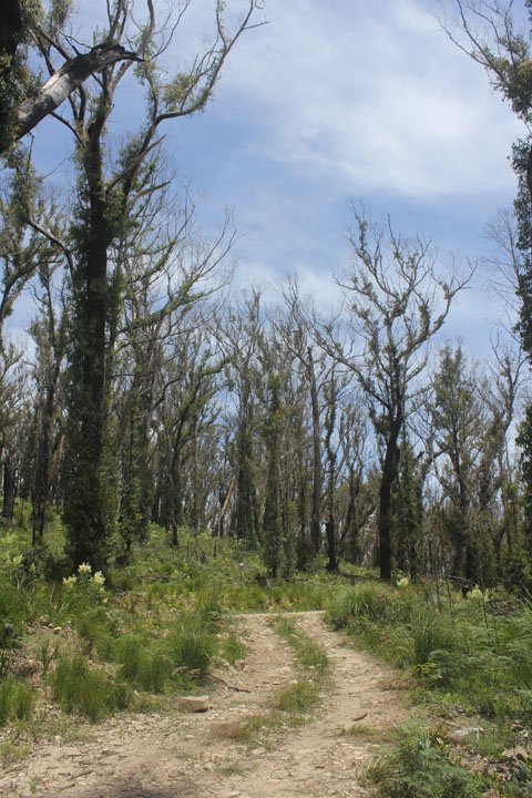
The campsite even had hot showers – which we had to take advantage of. We packed and headed further up the mountain to the Barraba track head and around to the next campsite at Dawson Springs to have a look, January’s fire had been through here and the infrastructure was still being repaired, stopping us from getting to the summit lookout.
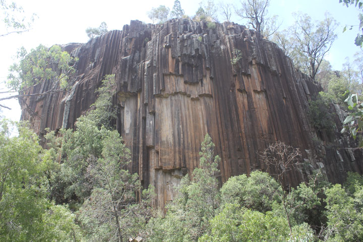
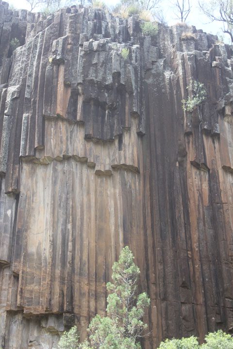
We turned and headed back down the mountain and into Narrabri for a coffee, for me anyway, Nyree was not well and opted out (she must be very ill, to pass up on her daily coffee!). Our first stop was just outside of Narrabri at Sawn Rocks, Nyree slept in the car, while I headed out along the walkway to the viewing platform for the ‘Organ Pipes’, a natural volcanic rock phenomena. It was hot again, back in the truck it was 44 degrees. We continued on and went over Killarney gap onto Bingara, where again we stopped for an ice-cream.

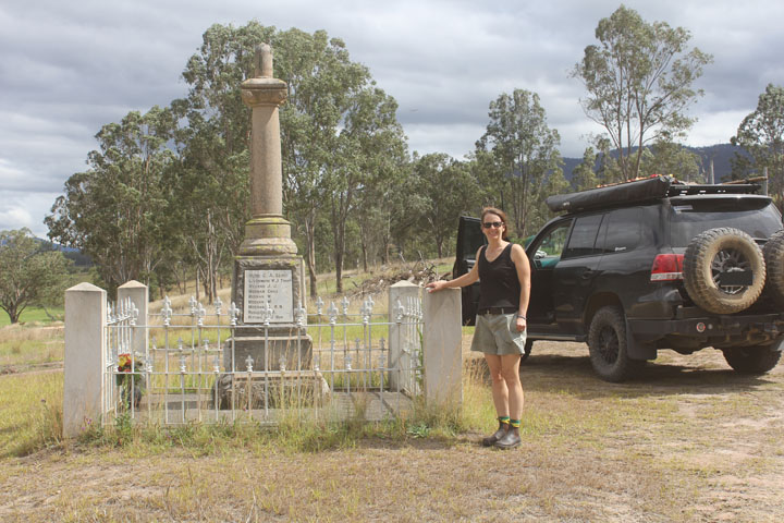
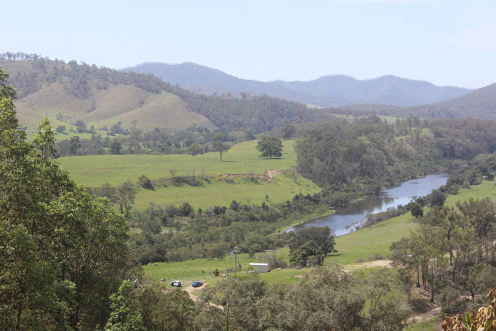
We continued on through Inverell and Glen Innes and turned off the Gwydir highway onto Old Grafton Road and down into Mann River, where we thought we might camp. It was a good steep drive in and again fire had been through here so lots of work was going on, grading and realigning on the track and even a bridge culvert being built. Unfortunately the campsite was right on the side of the track and it was very sterile and laid out like a caravan park, so we gave it a miss and continued on. We stopped at the Newton Boyd War Memorial, which was in the middle of nowhere and as per every Australian War memorial very poignant – lots of brothers and one set of 5.
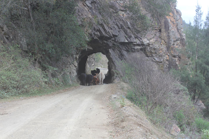
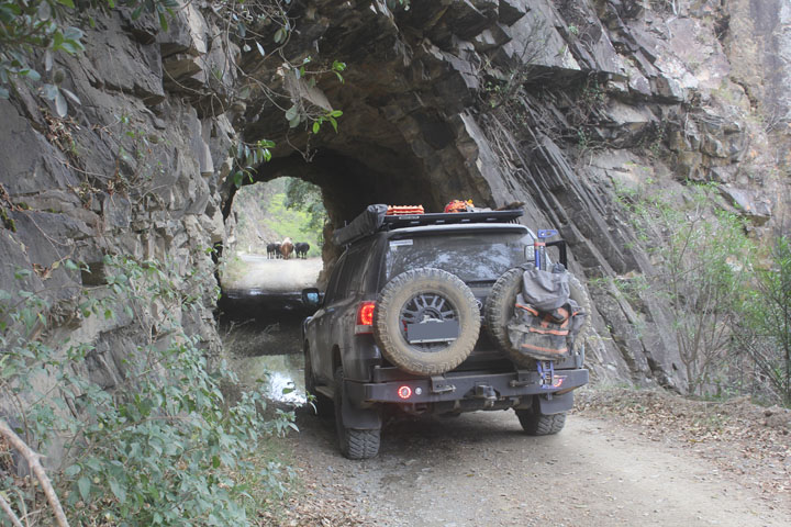
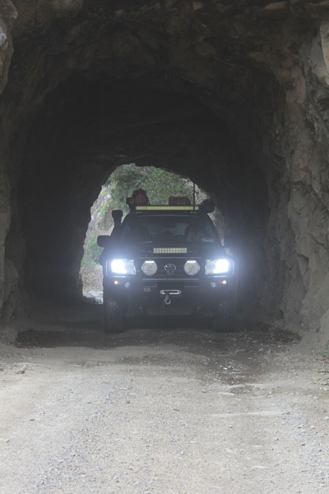
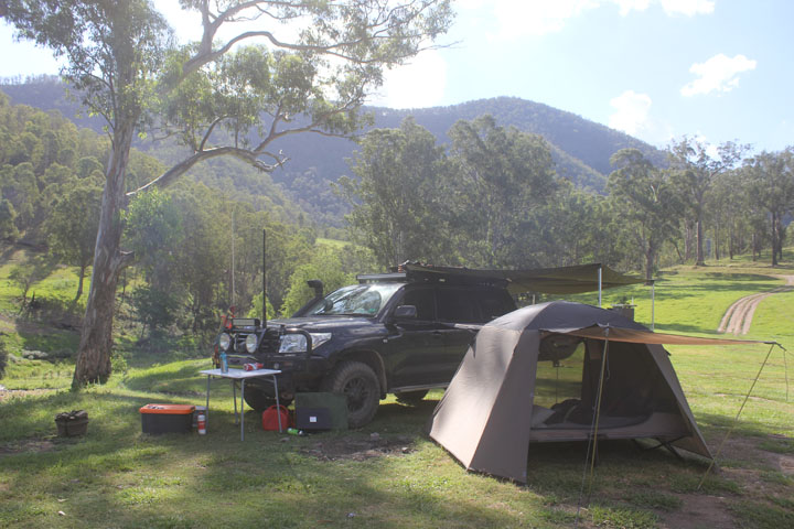
We then followed the river and came to the convict tunnel that cut through a cliff above the river, after shooing a few cows out of the way we took some photos and continued on, it was getting quite dark as a storm was coming up behind us and thunder could be heard in the distance, we came around a corner a short time later and we were in Dalmorton about 4.30pm. A quick read of the sign board showed a campsite just across the river which would do us fine. We crossed the river and saw the some people off to the left camping, so we headed right and down onto the gravel bank to the edge of the river, some 353km today.
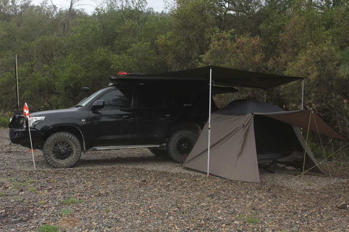
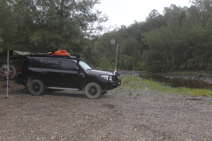
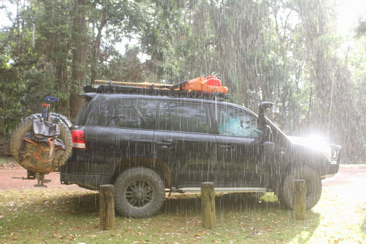
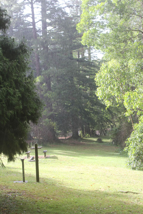
A quick set up just as it stared to rain and a final check to make sure we wouldn’t get caught in a flash flood if it was torrential, I collected some fire wood, but it was river debris and water logged, very rare for us, but for once we could not get a fire started, so it was decided to has cheese and bickies for dinner, Nyree had perked up a bit, but wasn’t up for an alcoholic drink so I had to make do with a few JD’s on my own.
The rain was now fairly constant and a pretty good light and sound show was underway, we did have a bit of protection above and I think being in the valley meant we didn’t cop the brunt of the storm, we were in bed by 8pm and the rain became heavier but we were dry. I slept great and didn’t wake at all, Nyree said it rained heavily all night with plenty of thunder and lightning as well.
Friday 4th.
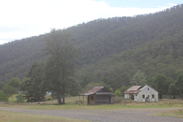
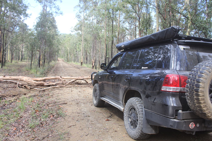
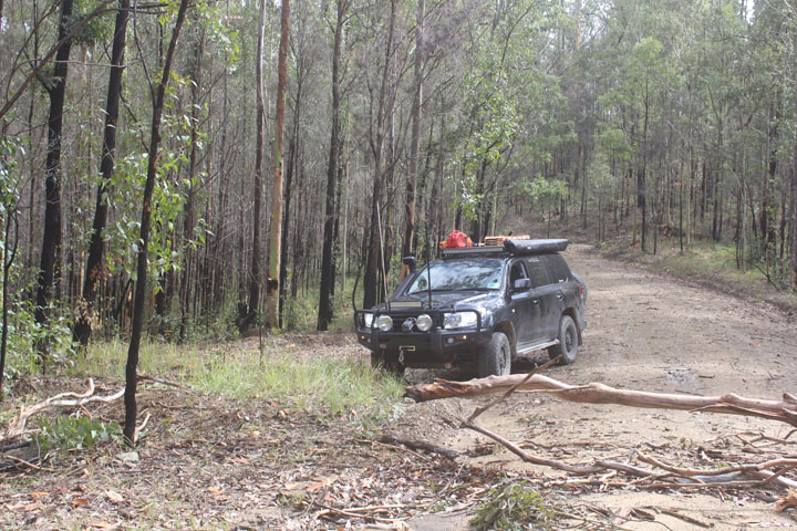
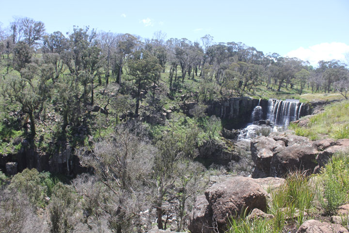
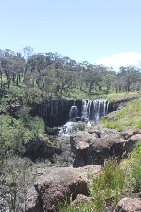
Waking the next day we were greeted by low cloud but no rain. We packed up and headed back up to the Dalmorton sign which had some history and a few ruins of the area and had a bit of a look around. We then headed back across the river and up onto Chaelundi Road, which was looking pretty freshly graded although the storm that had come through must of dropped trees and lots of litter as it was a mess, we even had to stop a few times to move fallen trees off the track. After about 66kms odd, we came out at Dundurrabin on the Armidale Road (Waterfall Way). We travelled along until we came to Ebor, where we pulled in to look at the Ebor Falls. Once again the area had been fire effected and a lot of the viewing platform and walking track was closed still awaiting repair. There was a fair bit of water coming over so they looked good, I’d imagine they would be pretty spectacular in full flow.

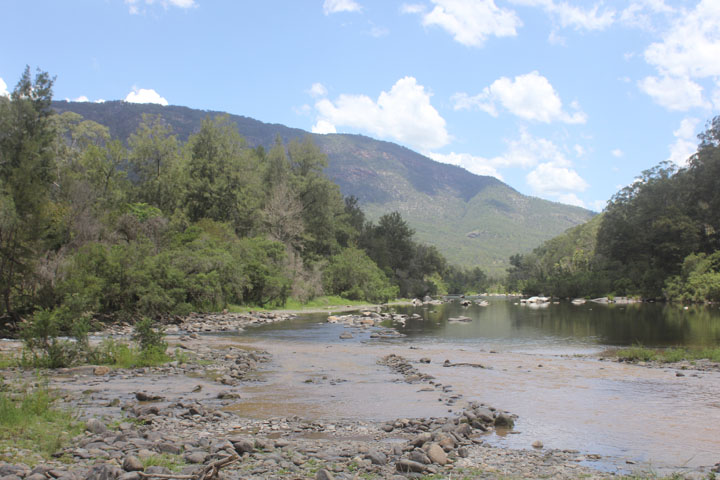
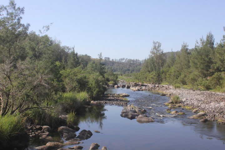
We continued on and turned into Styx River Forest, stopped at Beech lookout, and then into Kempsey Road and started the descent down into Georges Junction. This was a great drive down, a real narrow track that had some steep sides and washouts and sections in need of repair. We reached the bottom which was a big open space above the junctions of the creek (Georges) and river (Macleay) and a great open space for camping. We had a bit of a drive around to see if there were any other worthwhile spots, but there were all low to the river and quite damp from the last floods that must of come through, we collected some firewood and set up camp up above the creek. We went down to the main junction and it was quite amazing to see all the clear water flowing from the MacLeay and all the muddy water coming in from the Georges. It was great to get in for a swim and sit in the rapids as it was stinking hot. A few other people turned up to set camp, but the area was big enough to accommodate all well away from each other.

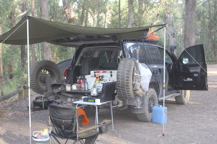
As I headed down for another swim, a gust of wind came up and flipped the awning over the vehicle, Nyree couldn’t hold it and by the time I got there it had snapped all 4 hinges – so that was the end of that shade for the rest of the trip! Something that we were not looking forward to fix, as it has happened once before and we had to go back to Drifta the manufacturer in Gloucester to have the canvas re-stitched, pain in the arse! It cooled down so we got the fire going and tonight we were having lamb shanks, one of our best camping meals.


We were entertained as we spotted a baby Kookaburra in a nest in the tree just off to the side of us. It was fascinating watching the mum and dad bring food and how they would stay away from the nest, we thought to make sure intruders/predators weren’t around before diving in to regurgitate food for the baby.
Saturday 5th.
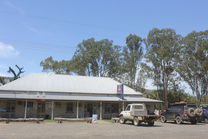
Despite looking a bit ominous into the evening it remained clear and no weather hit us, we had a good sleep and awoke the next morning and headed down for a swim and some breakfast, we packed up and drove the vehicle down to the crossing that takes you up along the river further into the valley and had another swim. Today we weren’t too sure where we were going to end up but headed in the general direction south. It took about an hour to drive down the valley beside the river, passing a few Bass fishing lodges and some lush pastoral properties and ending up at Bellbrook where we stopped for a beer at the pub.
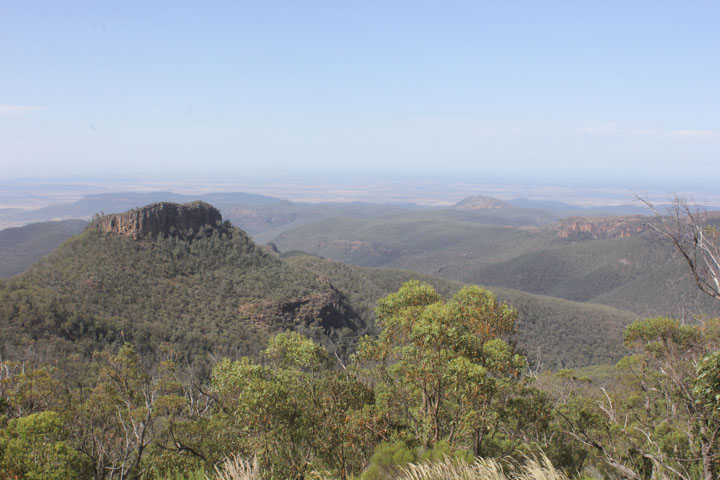
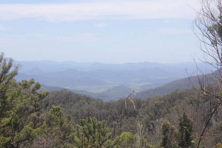
Not long after we turned south off the road at Toorooka and gradually climbed back up into the high country through Willi Willi NP. We then crossed into Oxley Wild Rivers NP and travelled through the forest and came out at a junction which was the trail head if you wanted to walk down into Youdales hut. We continued on around the rim and stopped at a burnt out Hoppy’s lookout and could see down into Youdales Valley, you could even make out a vehicle heading down into it. We continued onto to Racecourse trail which completed the loop and bought us to the locked gate (well it was open) entrance to Youdales track.
The rain had started to fall and through gaps in the canopy we could see very dark clouds, lightning and hear thunder. The trail went along the border of the NP and on the other side was farmland, as we started to come out of the forest and into the rolling hills, the storm was upon us. It was massive, the rain belted down and then hail hit us, I had to stop the truck as I couldn’t see anything, it was quite scary actually, being in the middle of nowhere in rolling farmland coping the fill brunt of the elements.
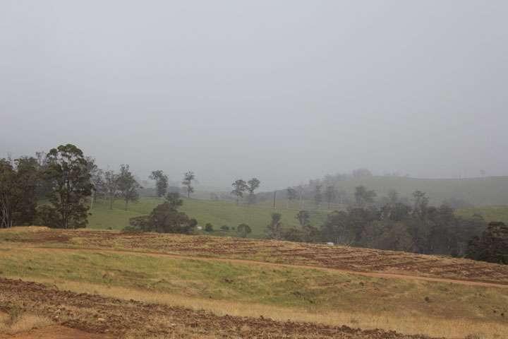
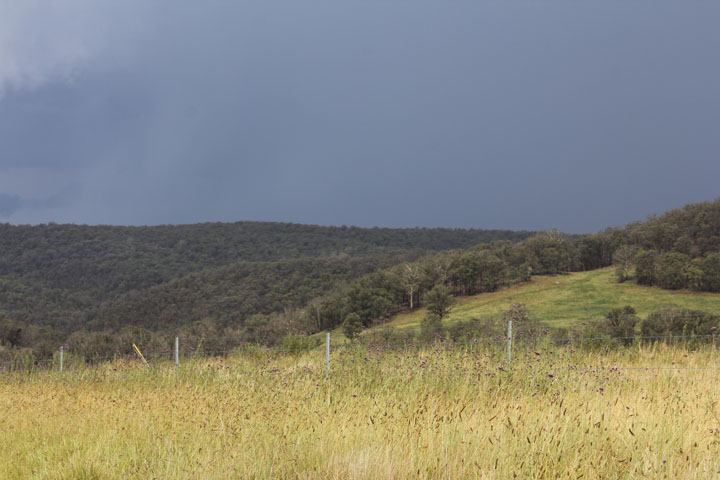
Then as quickly as it rolled onto us it rolled off and was behind us – you could actually see the divide from where it was hailing and wasn’t moving across the paddocks. Nyree loves a good storm and that she ranked up as one of her best. The track eventually turned into gravel as we continued up and down paddocks and across the hills. We eventually came out onto the Oxley highway and decided to turn east and head down through Mt Seabrook on the bitumen and turn back onto the dirt into Tapin Tops NP and camp at Dingo Tops campground which was the only spot we could see on our way on the maps that was a campground.
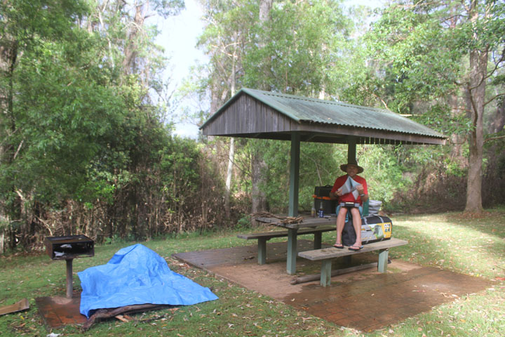
Dingo Tops was more or less a picnic area, with a few lunch shelters. We’d had enough driving for today, as the last few hours had been graded fire trails which are boring, we decided this would do for tonight. The rain was back and another good lightning and thunder show was upon us. A motorbike adventure rider was calling it a night as well, he had parked up in a shelter and looked to be settling for the night.
We got some timber before it got really wet and set the tent up. The fire was started and we threw on a hunk of lamb and enjoyed a few beers in the drizzle. It was an early night as there was not much to do. It rained fairly steadily through the night but we kept pretty dry, we packed up with a damp tent and thought we’d head into Gloucester for a bought brekkie.
Sunday 6th.
We travelled along Knodingbul Road and eventually came out on Nowendoc Road and then zig zagged through Tiri, Bundook through some lovely scenery and onto the Buckets way and Gloucester. We stopped for Brekkie at a café in the main street and continued on the blacktop to home arriving at around 1.30pm knocking off just under 1,700kms.
It was the first time we had taken the black truck without a trailer and just used a tent, it was nice simple camping and nothing too strenuous. It was our first foray up in the Central tablelands and at first didn’t appear to offer too much but once we were out in it, opportunities presented themselves and we could see some future short trips into the area.